
01 / Screening
Site and property intelligence
Parcel records, flood and wetland mapping, soil context, neighboring land use, access questions, and other mapped constraints.
See complete reportGeoSite Intelligence / Land & Property
Location, constraints, and change are easier to evaluate when the underlying evidence is brought together. GeoSite develops screening-level geographic intelligence for real estate, development, and planning questions.
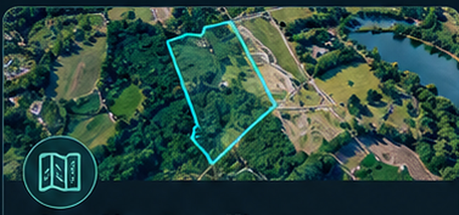
Parcel + watershed + surrounding land use + measurable context
GeoSite Intelligence services
Each engagement follows the decision, not a one-size-fits-all map package.
01 / Screening
Parcel records, flood and wetland mapping, soil context, neighboring land use, access questions, and other mapped constraints.
See complete report02 / Terrain and hydrology
Terrain-derived drainage pathways, catchment relationships, and connections beyond the property line. Screening outputs are not engineered stormwater designs.
See drainage example03 / Landscape change
Time-series mapping of land cover, developed-area patterns, and potential change in surrounding environmental context.
See comparison04 / Development questions
Preliminary placement studies, buffers, building-footprint scenarios, changed impervious area, and questions to verify before design.
See Fairview project05 / Cartography
Clear map layouts, scale, context, legends, labeled assumptions, and figures that support reports or outreach.
Explore maps06 / Technical project support
Coordinate systems, raster and vector processing, repeatable exports, source inventory, and spatial quality review.
Ask about support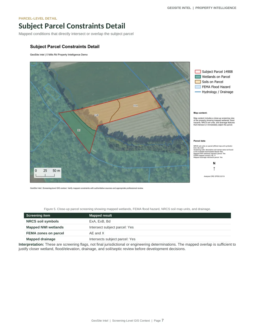
Actual report excerpt. Independent screening demonstration.
Completed case study
The 13-page demonstration separates mapped observations from interpretations and documents what needs follow-up. It includes imagery, parcel conditions, wetlands, FEMA context, NRCS soil symbols, terrain, and nearby land use.
A screening flag is a reason to investigate, not a finding of permit status, contamination, engineering adequacy, or legal buildability.
Land project inquiries
Share the location and intended use. GeoSite can identify the GIS evidence worth reviewing and the questions that need a licensed specialist or agency.