Completed independent demonstrations

Technical work.
Documented from input to output.

GIS work is part of GeoSite Intel's foundation. These examples show repeatable project workflows, analytical checks, and clear deliverables - not claims of licensed engineering design.

01 / Project demonstration601 Fairview AvenueDevelopment scenario · Beaufort County, NC

A stepwise site-analysis workflow.

An independent QGIS project covering parcel screening, soils and terrain analysis, preliminary usable-area review, garage footprint scenarios, impervious-area calculations, and drainage context. The work was organized across reproducible phases with editable outputs and QA notes.

Parcel contextSoils & terrainScenario overlayQGIS/Python

Conceptual screening only; not a stormwater design, permitting decision, or survey.
02 / Project demonstration0 Mills RoadProperty intelligence · Pitt County, NC

Multiple sources, one review package.

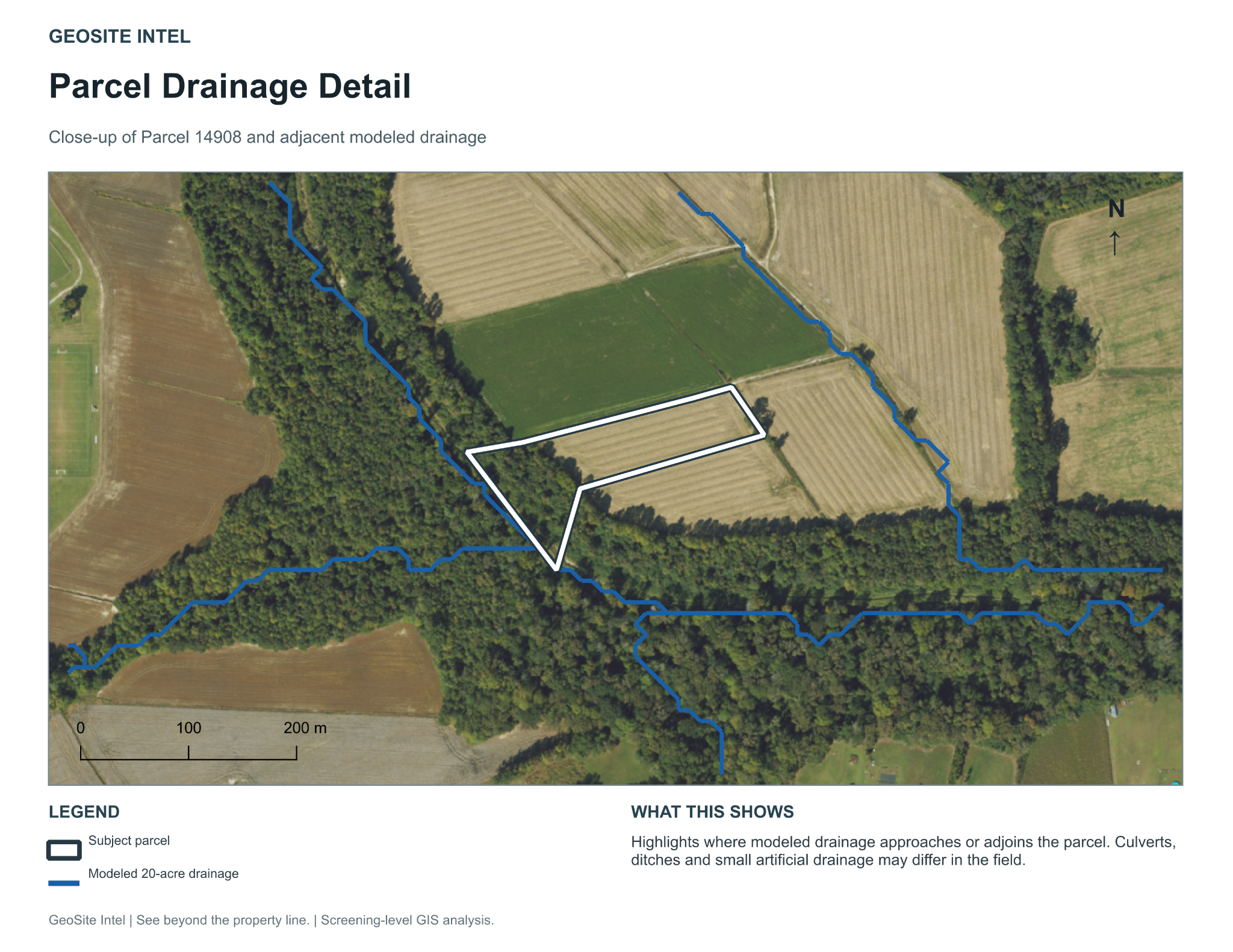
A 13-page GIS screening report combined parcel information, aerial imagery, flood and wetland layers, soils, terrain, drainage, surrounding land use, measured proximity, and source limitations. The project separated mapped evidence from interpretation and flagged verification needs.

Data assemblyQAReportingMaps
03 / Project demonstrationOutlet Chicod CreekWatershed and land-cover analysis

Repeatable geographic analysis across time.

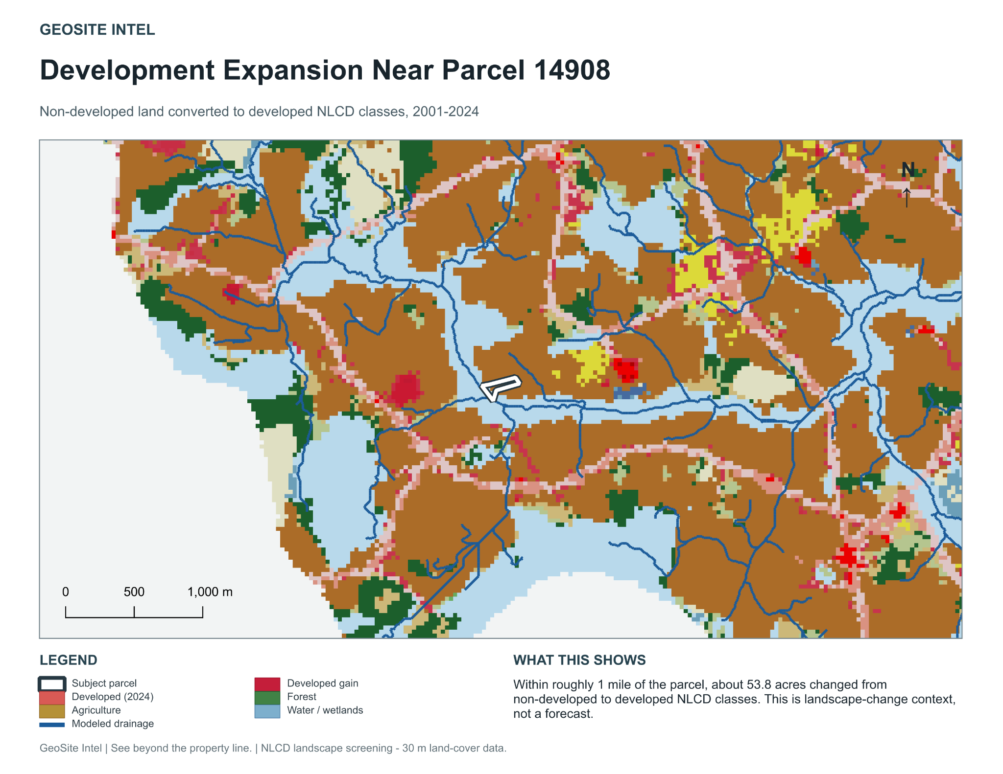
Terrain-derived drainage and watershed context were paired with 2001–2024 land-cover comparison. Common spatial units and documented processing supported clear interpretation of change and scale limitations.

Watershed contextLand-cover changeRaster analysisDocumentation
The common skill

Complex work made repeatable.

These projects developed a habit of turning scattered source material into organized inputs, consistent processing steps, reviewable outputs, and records of limitations. GeoSite now offers those same principles in broader custom automation work.

View the business workflow demonstration ↗